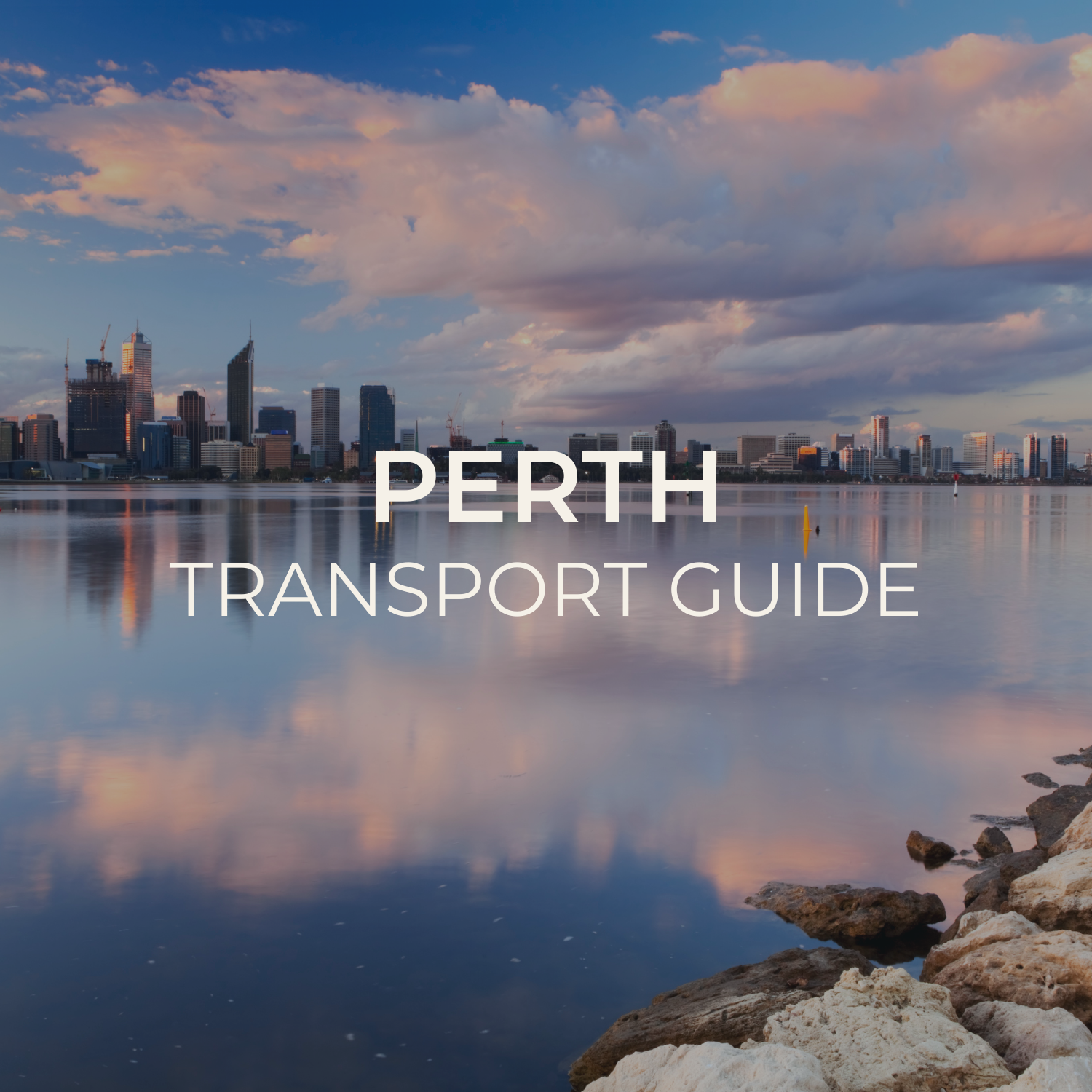
Perth offers space, light and stunning coastal scenery — and with the right transport plan, it’s incredibly easy to explore. This Perth Transport Guide covers airport connections, train routes and public transport options to help you move seamlessly between the city, Fremantle and the coastline. Alongside practical navigation tips, you’ll find Perth’s most Instagrammable locations — from ocean sunsets and modern architecture to vibrant port-side streets and café culture. Created for solo travellers who value both efficiency and aesthetic, this guide makes discovering Perth simple and inspiring.
☀️ Perth Transport Guide
Navigate Western Australia’s sunniest capital by train, bus, ferry, and bike. With a free transit zone in the CBD and stunning coastal routes, Perth is easy and affordable to explore.
Main Transport Options
Transperth Trains
Modern suburban rail connecting the CBD to Fremantle, Joondalup, Mandurah, and the airport
- 5 lines: Joondalup, Mandurah, Fremantle, Midland, Armadale/Byford
- Forrestfield–Airport Link connects directly to Perth Airport
- Free Travel Zone (FTZ) covers all CBD stations
- Runs from ~5:00 AM to midnight, later on weekends
Transperth Ferries
Scenic ferry crossing the Swan River between the CBD and South Perth — a must-do for visitors
- Elizabeth Quay to South Perth — 7-minute crossing
- Stunning views of the CBD skyline and Kings Park
- Runs every 20–30 minutes, 6:30 AM to 7:15 PM
- Uses standard Transperth fares and SmartRider
Buses & CAT Services
Extensive bus network plus free Central Area Transit (CAT) buses circling the CBD
- Free CAT buses: Red, Blue, Yellow, and Green routes loop the CBD
- Regular bus routes connect suburbs across metro Perth
- High-frequency routes every 10–15 minutes on major corridors
- Circle Route (998/999) rings the entire metro area
Cycling & E-Scooters
Perth’s flat terrain, endless sunshine, and riverside paths make it a cyclist’s paradise
- Swan River cycle path runs from the CBD to Fremantle (25 km)
- Kings Park has dedicated cycling trails with city views
- Beam e-scooters available across the city
- Flat coastal paths from Cottesloe to Scarborough Beach
Passes & Tickets
SmartRider
Perth’s reusable smartcard — tap on/off for trains, buses, and ferries with discounted fares
Best for: Regular travel & best fares- 15–25% discount vs cash fares
- Auto top-up available
- A$10 non-refundable card fee
DayRider
Unlimited all-day travel across all zones on weekends and public holidays
Best for: Weekend explorers- A$7.40 unlimited weekend travel
- All trains, buses, and ferries
- Available on SmartRider only
Contactless Payment
Tap your bank card or phone — standard cash fares apply, no SmartRider discount
Best for: Occasional visitors- No card purchase needed
- Cash fare rates apply
- Works on all Transperth services
📱 Navigation Apps & Tools
Transperth App
Official app with journey planner, live departures, SmartRider balance, and service alerts
Google Maps
Reliable multi-modal routing with real-time transit and walking directions
Moovit
Real-time transit tracking with crowdsourced delay reports and alerts
Beam App
Find and unlock e-scooters and e-bikes across Perth in seconds
📸 Most Instagrammable Transport Spots
Elizabeth Quay Ferry
Board the ferry with the city skyline and bell tower as your backdrop
Fremantle Line River Views
The train hugs the Swan River between Perth and Fremantle — window seat essential
Kings Park Cycle Trails
Ride through native bushland with panoramic views of the city and Swan River below
Rottnest Island Ferry
Catch the ferry from Fremantle or Elizabeth Quay with turquoise water views the entire way
South Perth Foreshore
Step off the ferry to the most iconic photo spot — the full Perth skyline reflected in the Swan River
💡 Insider Tips
- 1 The Free Transit Zone (FTZ) covers all train travel between Claisebrook and City West stations — no card needed
- 2 Free CAT buses (Red, Blue, Yellow, Green) loop the CBD and Northbridge every 10–15 minutes
- 3 SmartRider saves 15–25% vs cash fares — buy one at Perth Station or any Transperth InfoCentre
- 4 The Forrestfield–Airport Link train runs directly to both Terminal 1 and Terminal 2 — skip the taxi
- 5 Rottnest Island ferries are NOT part of Transperth — book separately through Rottnest Express or SeaLink
- 6 Perth is the sunniest capital in Australia — carry water and sunscreen on every trip, even in winter
ℹ️ Important Information
Emergency Contacts
- Australian Emergency: 000
- Transperth Info: 13 62 13
- Police Assistance Line: 131 444
- Perth Visitor Centre: +61 8 9483 1111
Safety Tips
- UV is extreme year-round — hat, sunscreen, and water are essential
- The Fremantle Doctor (sea breeze) drops temps fast in the afternoon — bring a layer
- Check Transperth app for service changes during AFL game days at Optus Stadium
- Avoid swimming at river beaches after heavy rain — check water quality alerts